Attention, fellow bookworms and geospatial enthusiasts! I've compiled a fantastic list of free books on Geographic Information Systems (GIS) and related topics that you can download and dive into right away. Whether you're a beginner seeking fundamental concepts or an experienced GIS user looking to expand your knowledge, there's something for everyone. So grab your virtual reading glasses and get ready to explore the world of GIS!
Here's the list of books available for download:
1. A Primer of GIS - Fundamental Geographic and Cartographic Concepts.
2. Administering ArcGIS for Server.
3. Applied GIS and Spatial Analysis.
4. Applying GIS: Law Enforcement Protecting The People.
5. ArcGIS Pro Book.
6. ArcGIS Tutorial Basic Workbook for Absolute Beginners.
7. ArcGIS Web Development.
8. ArcPy and ArcGIS – Geospatial Analysis with Python.
9. Beginning MapServer Open Source GIS Development.
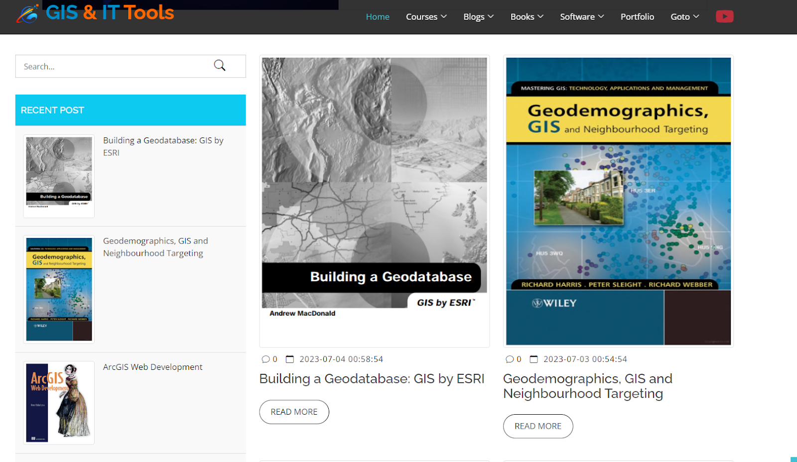
10. Building a Geodatabase - GIS by ESRI.
11. Building a Geodatabase: GIS by ESRI.
12. Building Web and Mobile ArcGIS Server Applications with JavaScript.
13. CAD and GIS Integration.
14. Database System Concepts (Sixth Edition).
15. Datums and Map Projections: For Remote Sensing, GIS, and Surveying.
16. Desktop GIS: Mapping The Planet With Open Source Tools.
17. Dynamic and Mobile GIS - Investigating Changes in Space and Time.
18. Encyclopedia of GIS.
19. Encyclopedia of Human Geography.
20. Environmental Modelling with GIS and Remote Sensing.
21. ERDAS IMAGINE Complete Tour Guides.
22. Exploratory Analysis of Spatial and Temporal Data: A Systematic Approach.
23. Focus on Geodatabases in ArcGIS Pro.
24. Fundamentals of Hydrology.
25. Fuzzy Surfaces in GIS and Geographical Analysis.
26. Geodemographics, GIS and Neighbourhood Targeting.
27. Geographic Information Systems for Group Decision Making.
28. Geography: A Very Short Introduction.
29. GeoServer Beginner's Guide Second Edition.
30. GeoServer Cookbook.
31. Getting to Know ArcGIS Pro.
32. GIS and Archaeological Site Location Modeling.
33. GIS and Geomarketing - Methods and Strategies in Spatial Marketing.
34. GIS and Public Health.
35. GIS Applications for Water, Wastewater, and Stormwater Systems.
36. GIS Applications in Agriculture.
37. GIS Basics.
38. GIS Cartography: A Guide to Effective Map Design.
39. GIS for Coastal Zone Management.
40. GIS for Dummies - Making Everything Easier.
41. GIS for Health and the Environment.
42. GIS for Sustainable Development.
43. GIS for Water Resources and Watershed Management.
44. GIS in Hospital and Healthcare Emergency Management.
45. GIS in Land and Property Management.
46. GIS in Public Health Practice.
47. GIS-Based Studies in the Humanities and Social Sciences.
48. GIS: A Sourcebook for Schools.
49. Imagery and GIS - Best Practices for Extracting Information from Imagery.
50. Innovations in GIS - Representing, Modeling, and Visualizing the Natural Environment.
51. Interfacing Geostatistics and GIS.
52. Introducing ArcGIS API 4 for JavaScript.
53. Introduction to GIS Programming and Fundamentals with Python and ArcGIS.
54. Leaflet.js Essentials.
55. Learn with Angular, Bootstrap, and Node.js.
56. Learning ArcGIS Geodatabases.
57. Learning ArcGIS Pro.
58. Learning from COVID-19 - GIS for Pandemics.
59. Learning Geospatial Analysis with Python.
60. Making Maps: A Visual Guide to Map Design for GIS.
61. Mapping: A Critical Introduction to Cartography and GIS.
62. Marvel Comics Universe.
63. Mastering ArcGIS.
64. Mastering ArcGIS Pro.
65. Mastering ArcGIS Server Development with JavaScript.
66. Modeling Our World: The ESRI Guide to Geodatabase Design.
67. Models in Spatial Analysis.
68. MySQL - PHP Database Applications, Second Edition.
69. Object-Oriented Design for Temporal GIS.
70. Online GIS and Spatial Metadata.
71. Open Source Approaches in Spatial Data Handling - Springer.
72. Open Source GIS: A GRASS GIS Approach (Second Edition).
73. PostGIS Essentials.
74. Practical GIS Analysis.
75. Programming ArcGIS with Python Cookbook.
76. Python Programming for the Absolute Beginner.
77. Remote Sensing and GIS Accuracy Assessment.
78. Remote Sensing and GIS Integration.
79. Remote Sensing and GIS Multiresource Forest Inventory.
80. Remote Sensing and GIS Technologies for Monitoring and Prediction of Disasters.
81. Spatial Analysis, GIS, and Remote Sensing Applications in the Health Sciences.
82. Spatial Data Analysis Theory and Practice.
83. Spatial Data Modelling for 3D GIS.
84. Spatial Data on the Web - Modeling and Management.
85. Spatial Database for GPS Wildlife Tracking Data.
86. Spatial Database Systems Design - Implementation and Project Management.
87. The Global Positioning System and ArcGIS - (Third Edition).
88. The Global Positioning System and GIS.
89. The Node Craftsman Book - An Advanced Node.js Tutorial.
To download any of these books, simply visit the following link: https://gisittools.com/books.php
Remember, knowledge is meant to be shared and explored. Feel free to spread the word among your friends and colleagues who might find these resources valuable. Happy reading and happy exploring with GIS!
#GIS #Geospatial #Books #FreeDownload #KnowledgeSharing
Source: Facebook GIS & IT Tools


0 komentar:
Post a Comment
Terimakasih telah membaca,
Semoga perjumpaan kali ini berkesan di hati sahabat-sahabat sekalian, silahkan diambil manfaatnya, serta dibawa pulang oleh-oleh pelajaran dan ilmunya. :)
Jika ingin meninggalkan jejak dan ingin mengirimkan komentar, Silahkan isi kotak komentar di bawah ini...